MOUNTAINS, VALLEYS, LOUGHS, RUINS & CASTLES OF CONNEMARA
Connemara is a district in the northern part of County Galway. The landscape there is a mix of peat bogs, starkly empty valleys, deep black loughs (i.e. lakes), and glacier-carved mountains. The name Connemara comes for the Gaelic for “inlets of the sea”, in reference to the regions many bays and inlets, which have for millennia provided shelter from the wild Atlantic weather. It’s an isolated, sparsely populated part of Ireland famed for its desolate beauty and hardy residents (both 2- and 4-legged). The hilly, rugged landscape of Connemara is within easy reach of Galway City so we set out to explore it today.
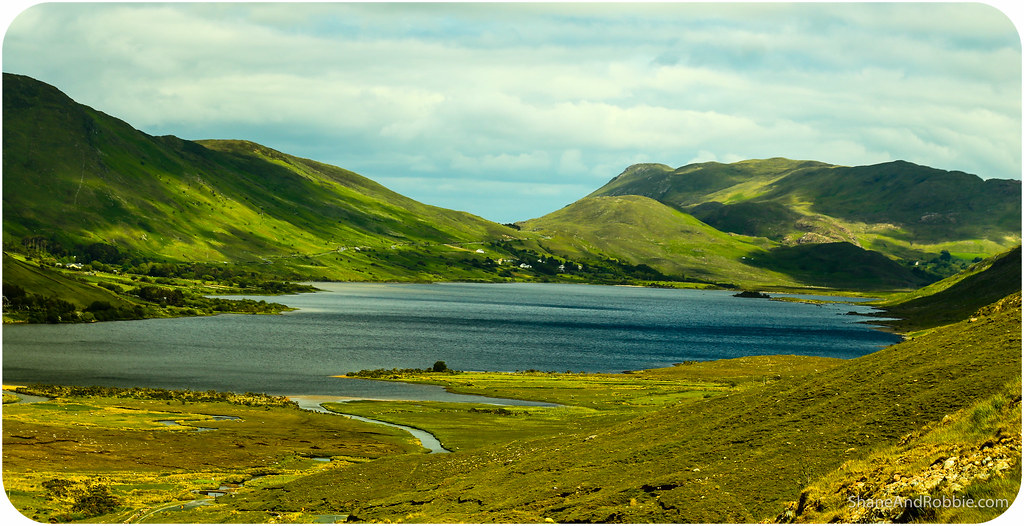
We left Galway City under changeable skies knowing we would probably used our raincoats, winter jackets, AND sunglasses today (the weather that blows in for the south-west is famously mercurial). Driving north out of the city we got our first views of Lough Corrib. This huge lake covers 176 km² and is the source of the River Corrib which flows through Galway and into the Atlantic Ocean.
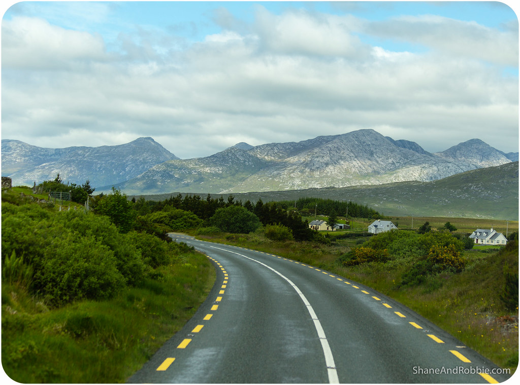
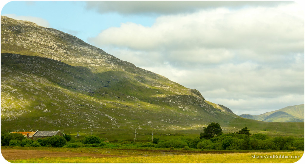
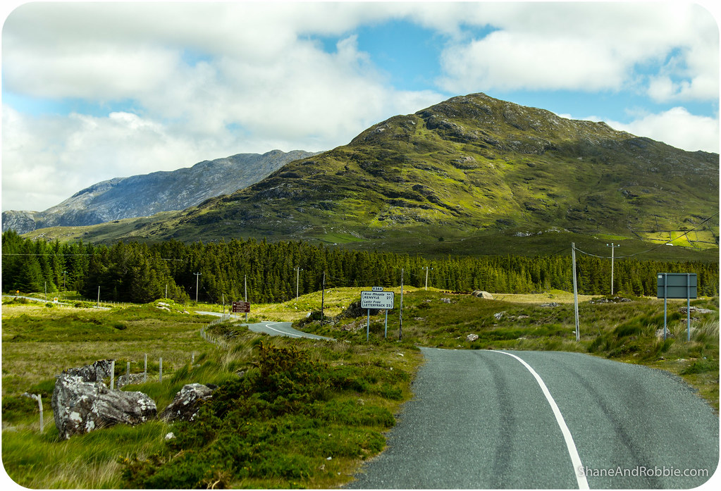
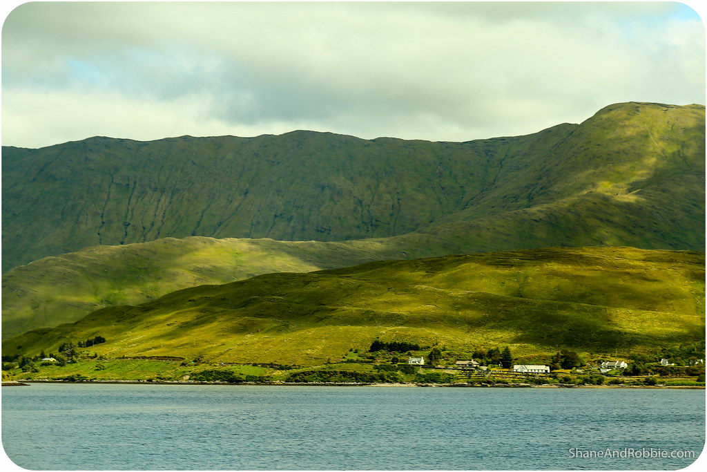
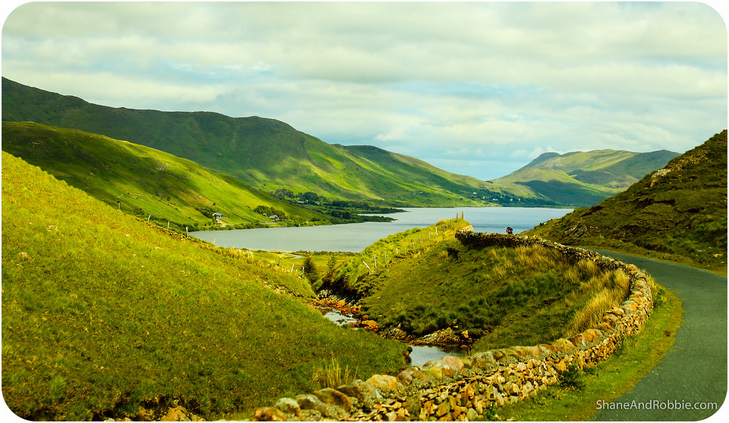
Continuing north the Maumturk Mountains and Twelve Bens mountain range gradually came into views and the starkness of the Connemara landscape revealed itself to us. The ground there is rocky on the slopes and boggy in the dells – not a great combination for productive farming. And yet, over the centuries Irish farmers have manually removed the rocks (using them to built their houses, barns, and fences), and used seaweed from the coast to improve the thin soil. Through their efforts the land, though still not rich, is at least fertile enough to support grass enough to feed livestock. Driving through Connemara today we definitely got a sense of how hardy the locals must be.
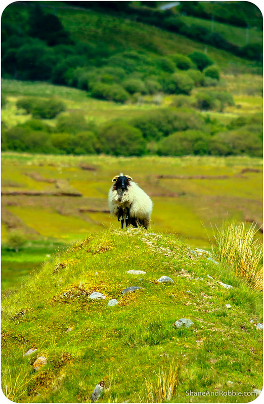
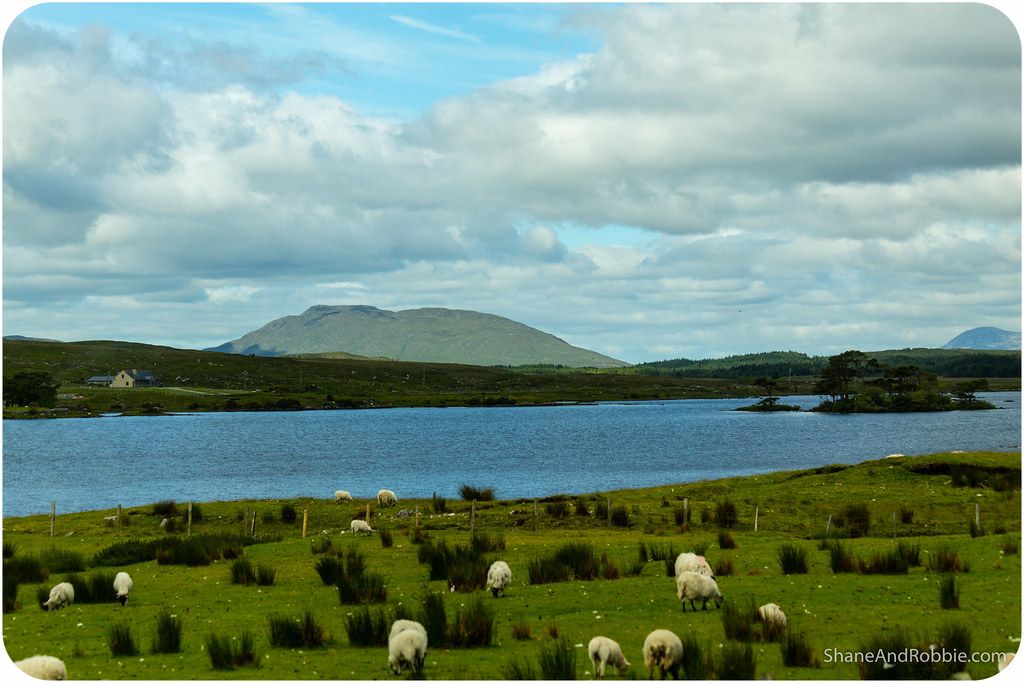
The first village we passed through was Maam Cross, a tiny hamlet built at the crossroads of 2 roads (now tarmac, once just sheep tracks). Maam Cross’s claim to fame is that it is the site of the annual Connemara Pony Show which brings pony fans from all over the world to see the best Connemara ponies on show. This small, hardy breed of horse is known for its strength, endurance and good disposition – makes sense in a landscape like this! Descended from Scandinavian ponies that the Vikings first brought to Ireland these hardy horses are now prized around the world. We saw a few Connemara ponies today, many of them with tiny foals at their side.

From Maam Cross the road took us through the vast expanse of the Inagh Valley. The steep, rocky slopes of the mountains there mean the land has never been improved – only the dense peat bogs of the valley have ever been used. Still today local farmers use sleáns* to cut up the peat. We saw neat triangular stacks of sod drying in the cool mountain air; the fuel will no doubt be dry enough to burn when winter comes.
*A sharp, long-handled tool used to slice up the peat.


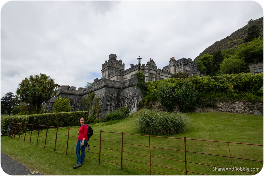
Once through the Inagh Valley we came to the Connemara’s most iconic sight: Kylemore Castle. Originally built as a private home for the family of Mitchell Henry, a wealthy doctor from London whose family was involved in textile manufacturing in Manchester, England. He moved to Ireland with his wife Margaret after they honeymooned in the area and fell in love with the unique landscape of Connemara.

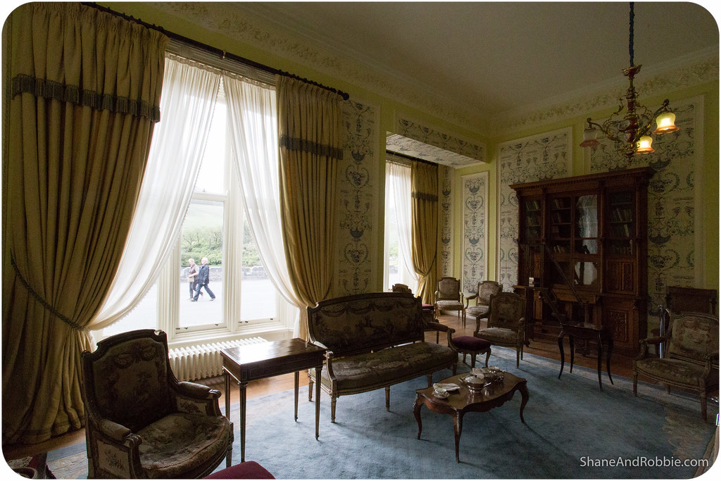
Built in 1867, the castle in made of solid local granite and consists of a 33 bedrooms, 4 bathrooms, 4 sitting rooms, a dining room, a ballroom, the billiard room, a library, and various offices and domestic staff residences for the butler, cook, housekeeper and other servants.

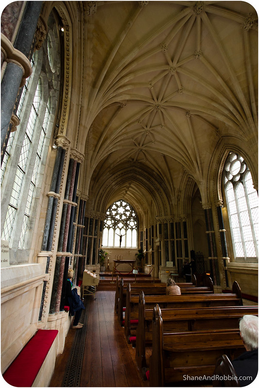
Other buildings on the grounds include a small Gothic church and family mausoleum containing the bodies of Margaret Henry and Mitchell Henry.


When the Henry’s family fortunes dwindled the castle was bought by Benedictine nuns who fled Belgium in World War I. The nuns established an abbey and a girls’ school there in 1920; the school only stopped operating in 2010 and only a few nuns remain at the abbey.


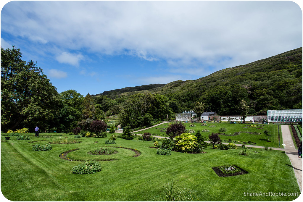
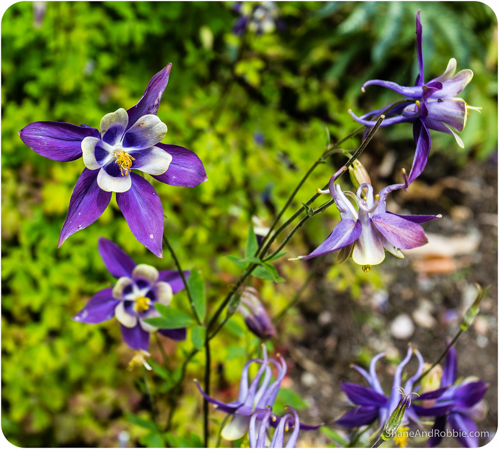
Today Kyelmore Estate is open to the public and we joined hundreds of other tourists exploring the woodlands, Victorian gardens and lakefront of the estate.

Having sated our appetite for castles we continued on to the village of Leenaun. Situated at the end of Killary Harbour, this tiny village is only home to mussel farmers and sheep farmers for most of the year. During the summer though tourists descend in their thousands to cruise through the harbour and hike through the surrounding mountains.
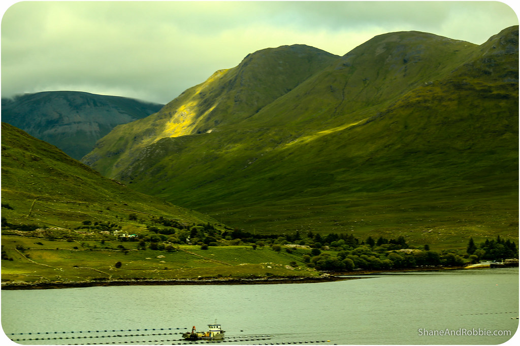
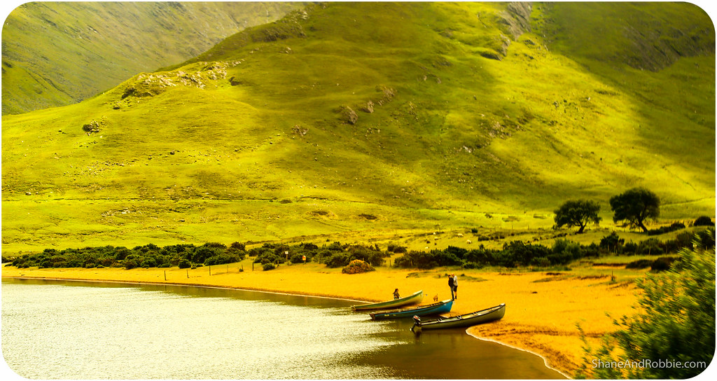
Killary Harbour is a 16km long glacial fjord created during the last ice age. At 45m deep and surrouned by mountains just 800m high, it is nowhere near as majestic as those in Norway, but was still an impressive sight.
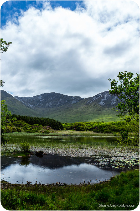
Turning southwards we then began our trek back towards Galway City, passing by Lough Nafooey on the way. Famous for the fishing opportunities it affords, the lough is set in a gorgeous steep-sided valley, surrounded by rugged mountains. It was definitely worth a photo stop!

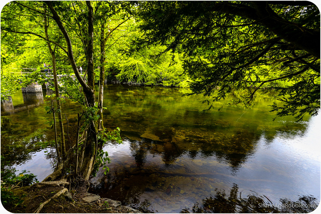
By this stage it was time for a break so we pulled into the village of Cong for what has been an afternoon ritual here in Ireland: tea and freshly baked scones. This picturesque hamlet is built on the isthmus connecting Lough Corrib and Lough Mask and is surrounded by fresh water and woodlands.
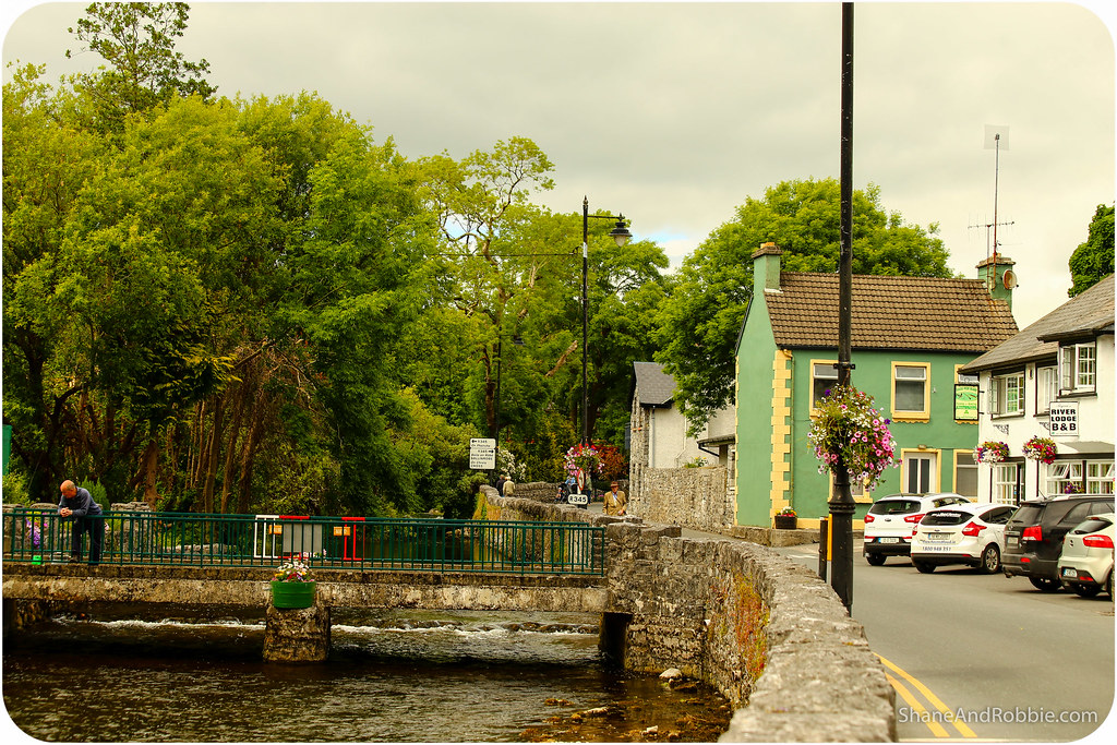
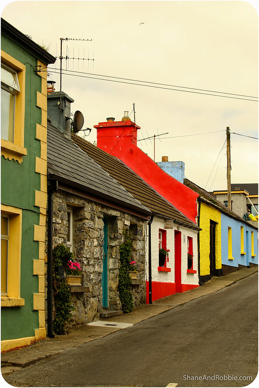
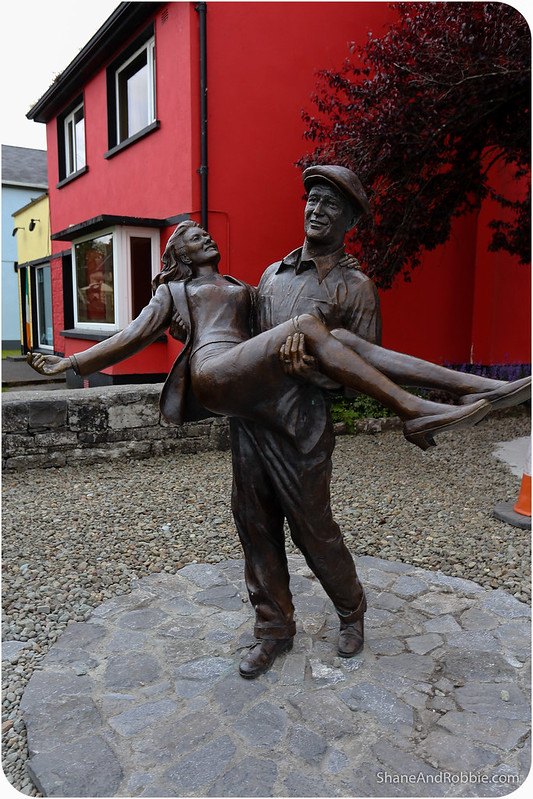
Cong’s big claim to fame is that it was the filming location for the 1952 Oscar-winning film “The Quiet Man”. We’ve not seen the film but might have to look it up, just to enjoy the scenery if nothing else!
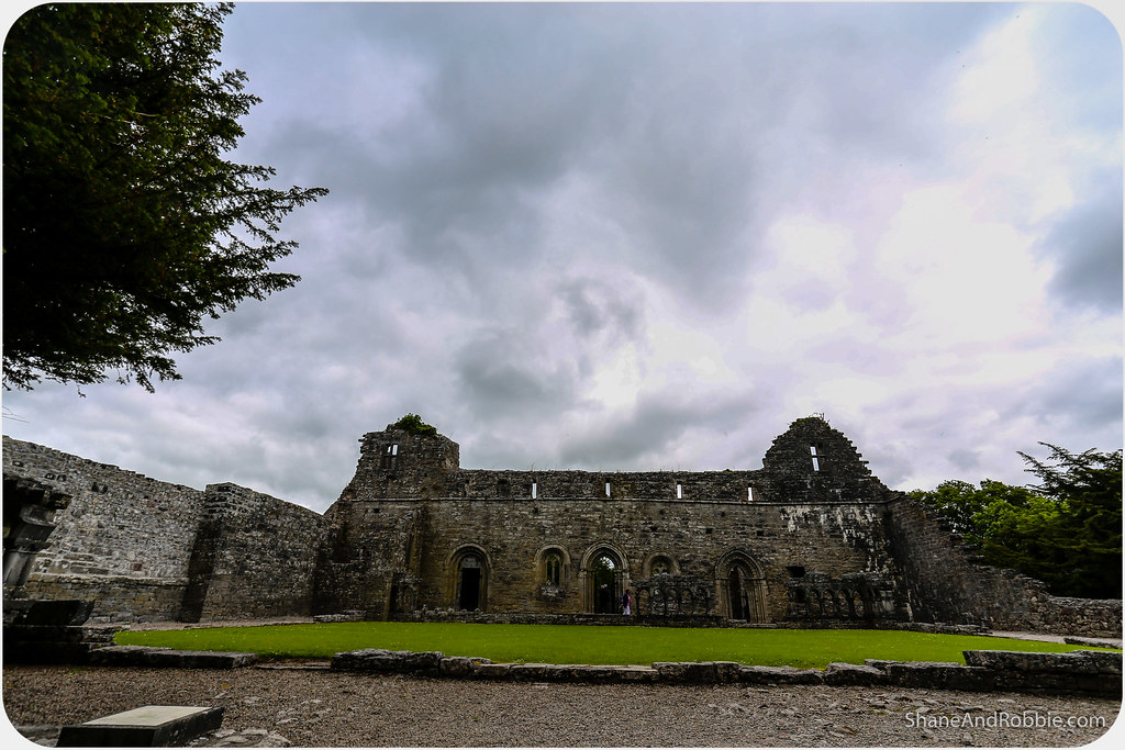
Before any Hollywood film stars graced its streets, however, Cong was a religious centre of some note. Built in the 14th century, the now ruined Augustinian abbey was once very wealthy and a fine example of medieval ecclesiastical architecture.
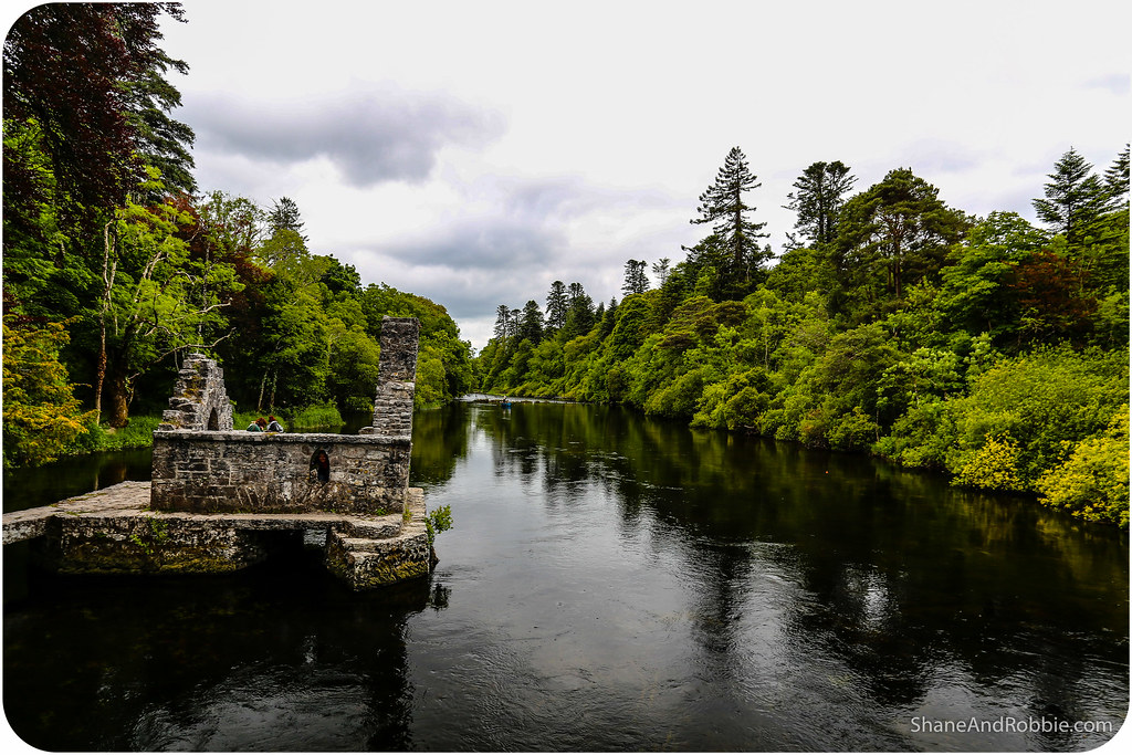
Exploring the grounds of the abbey we stumbled across the monks’ fishing house. Built on a platform of stones over the water, the hut had a hole in the floor which would have allowed for fresh fish to be caught, even in the worst of weather.
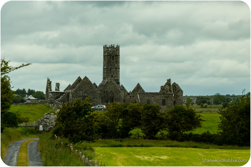
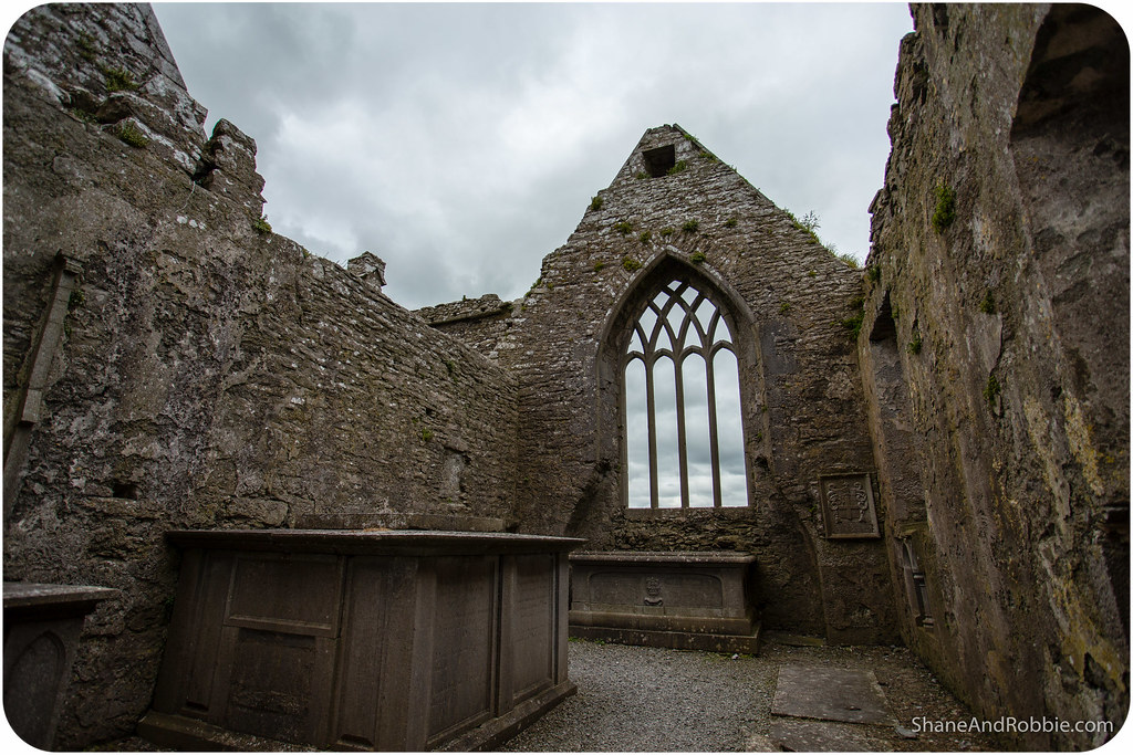
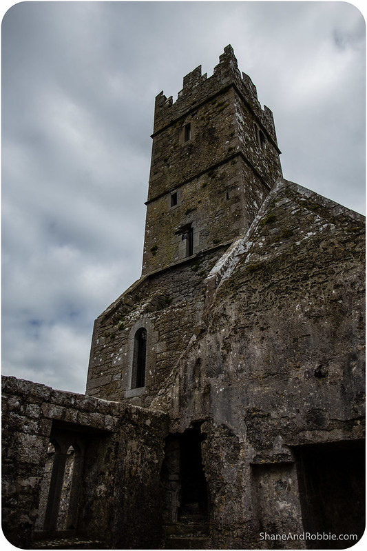
Our last stop before making back to Galway City were the ruins of Ross Eirley Abbey. This ruined medieval Franciscan friary was sitting in a field surrounded by cows, like so many of the ruins we’ve visited in Ireland. The abbey was huge – it must have once housed a significant community of monks. Like many other abandoned Christian sites in Ireland, Ross Errilly has continued to be used as a burial ground by locals. There were graves in there from the 1980s, 1990s and even a fresh one from just last month. We did our best to avoid stepping on any graves whilst we looked through the rooms of the roofless ruins. Medieval architecture really is awesome!
We’re now back in Galway City pondering where we might go tomorrow. What other parts of this Emerald Isle might be explore? There’s just so much to see here, and so many of the places we’ve visited for a day could entrance us for a week is we had more time! We’ve already decided that Ireland is on the “Must Return” list – it’s just too beautiful to visit just once!

Categories: Ireland
