DRIVING RINGS AROUND KERRY
For today’s adventure we drove the Ring of Kerry; this 179km circuit around the Iveragh Peninsula took us past pristine beaches, medieval ruins, glacier-carved mountains and deep highland lakes. The Ring of Kerry is the longest of Ireland’s “big circle drives” – it took us 9 hours to complete the circuit which was much longer than we expected, but then we did take EVERY little diversion and side-trip! And even though the weather wasn’t quite as spectacular as yesterday, it was still beautiful and well worth the trip.
This unspoilt region of Ireland has attracted visitors since Victorian times, and with good reason: The Ring of Kerry combines beautiful coastal scenery with emerald pastures and picturesque villages, all in one easy day trip!

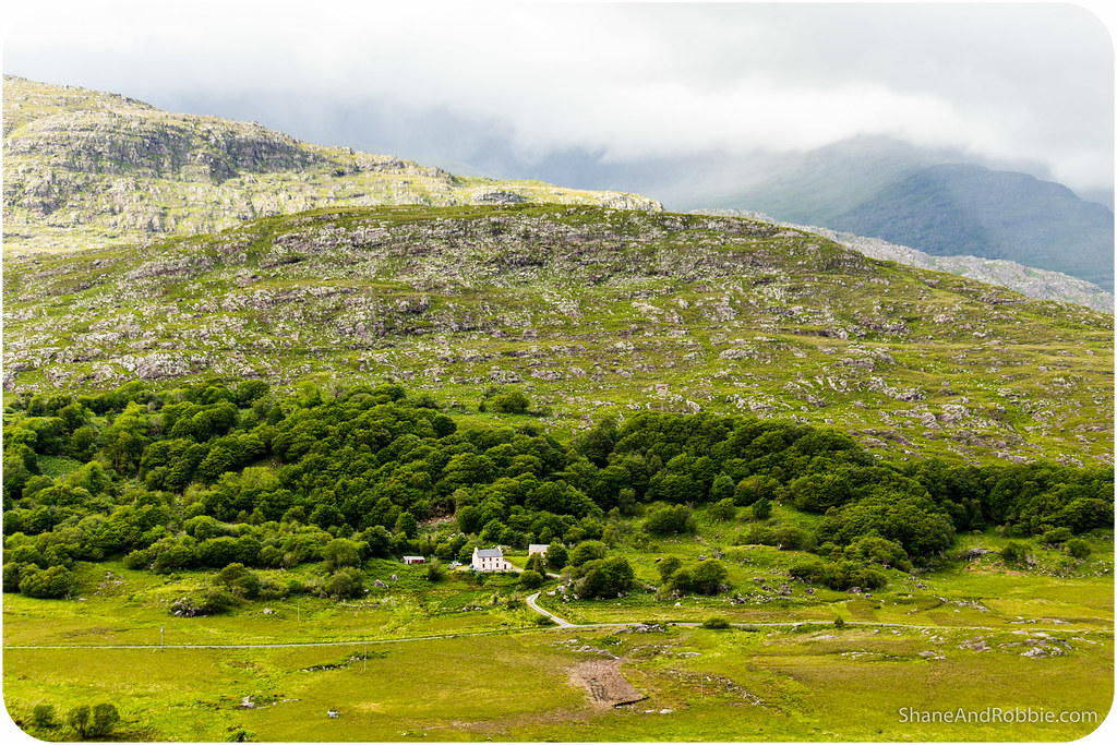
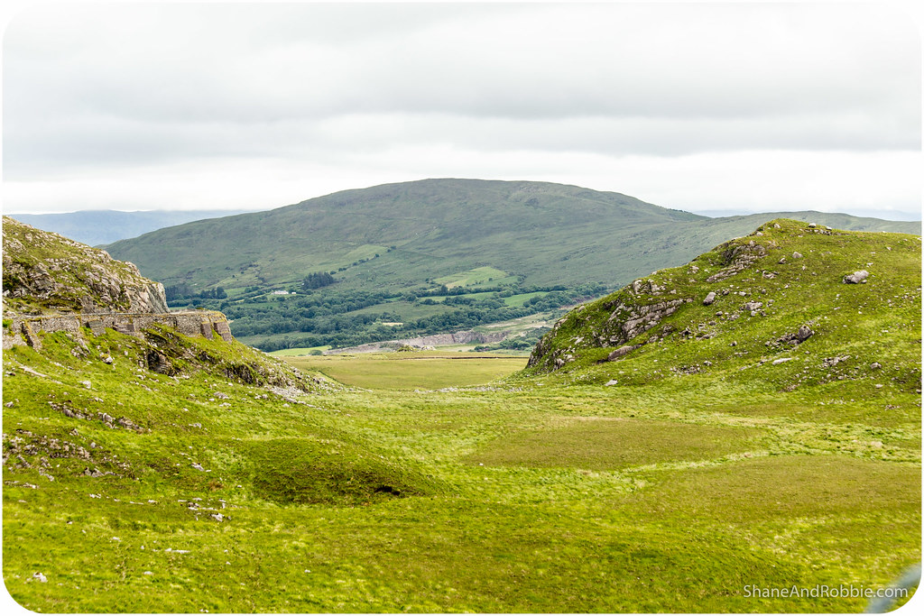
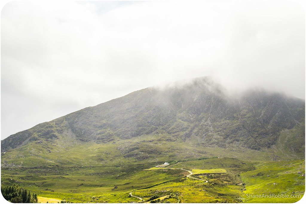
The Macgillycuddy Reeks range runs across the entire cape from east to west, creating a fascinating landscape of folded green fields and marshlands. Due to the lingering clouds today we only saw the scenery in part – the mountains never fully revealed themselves to us unfortunately*. At one stage today we even found ourselves driving through clouds as we crested through a small mountain pass! Ah the joys of an Irish summer….
*Due to the mountainous terrain and the prevailing south-westerly winds, Kerry is among the wettest regions in Ireland – clouds and rain are the norm around here (which makes our gloriously sunny day yesterday even more special).
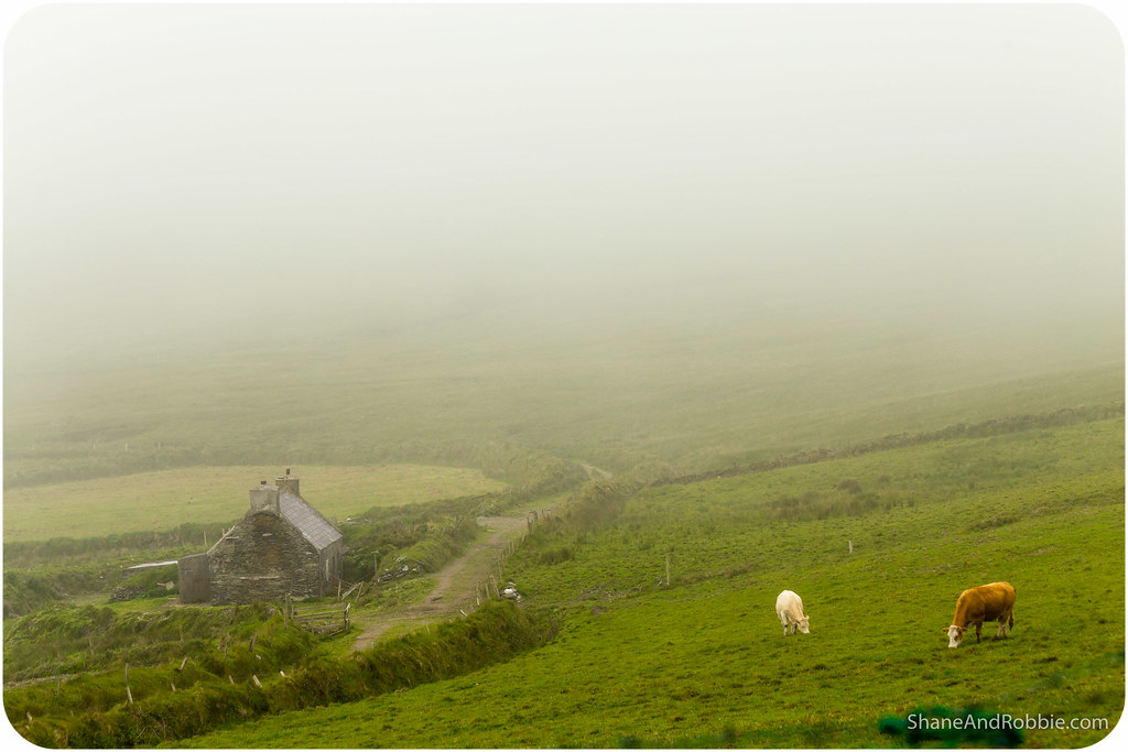
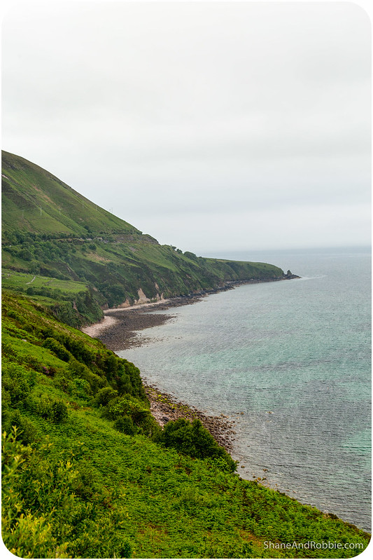
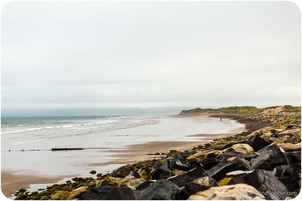
Along the southern and western edges of the Iveragh Peninsula the land ended in sharp cliff-faces as the mountains plunged straight into the Atlantic Ocean. Puffins and seals are supposedly common in this area, though we didn’t spot any today. What we DID get to see where lots of sheep, cows and even the odd wild deer.
The North Atlantic Current, part of the Gulf Stream, flows past Kerry, resulting in milder temperatures than would otherwise be expected at this latitude. This means that subtropical plants such as tree ferns, not normally found in northern Europe, thrive in this area. It also makes the climate in this part of Ireland every moderate – it may be wet, but it’s never too cold or too hot, and it rarely snows.
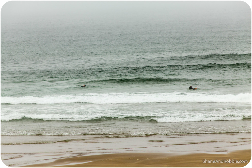
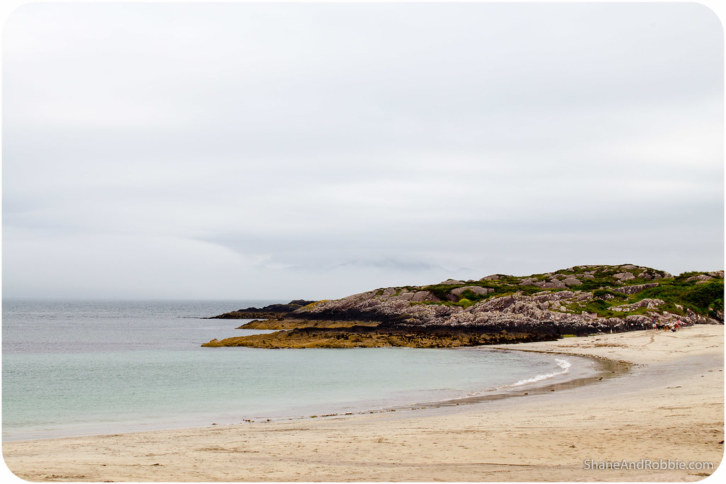
As moderate as the climate is, however, it’s certainly not conducive to swimming or surfing – at last not for us, used to the heat of tropical Australia as we are. And yet, there were people swimming and surfing at Rossbeigh Strand today!
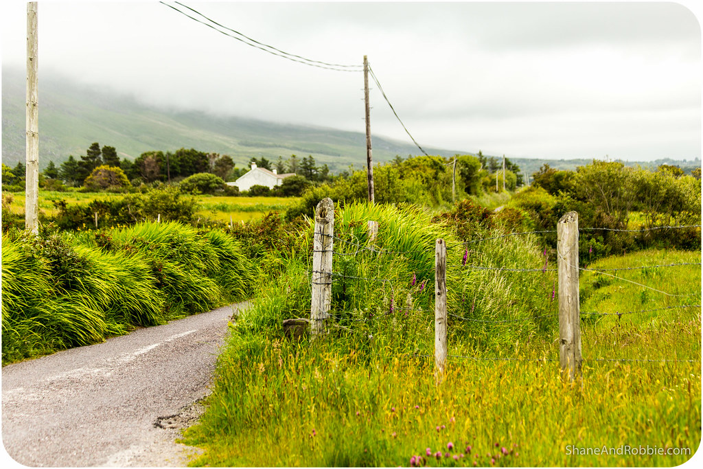
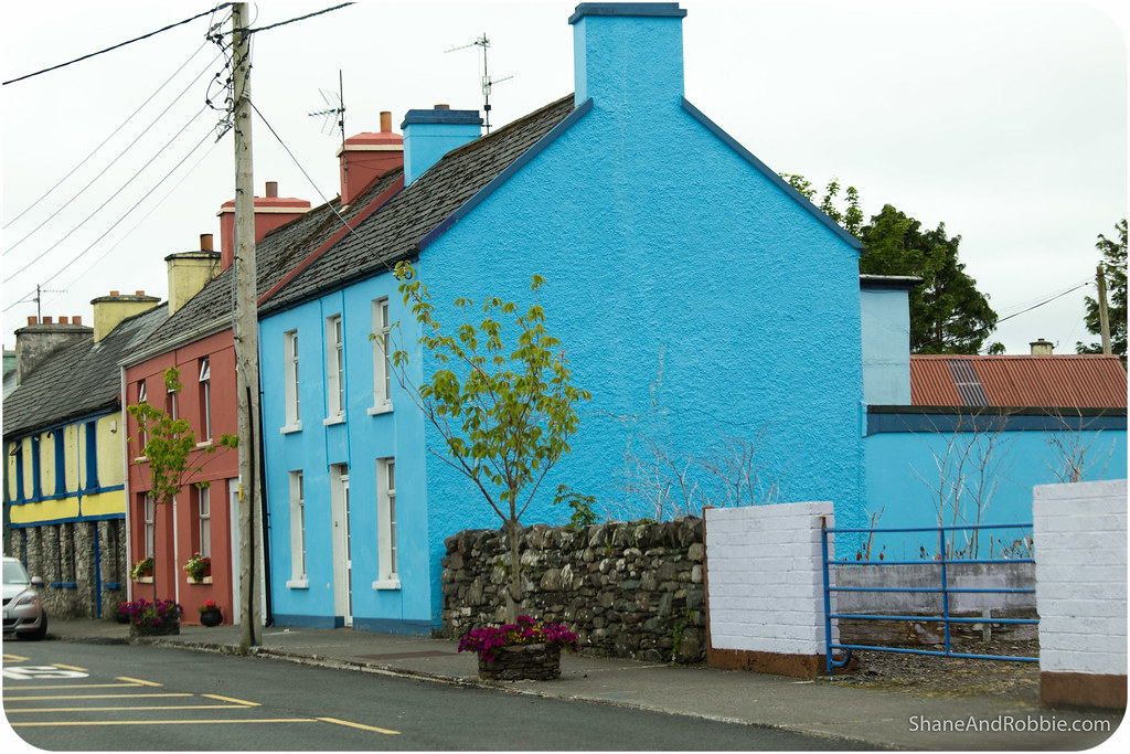
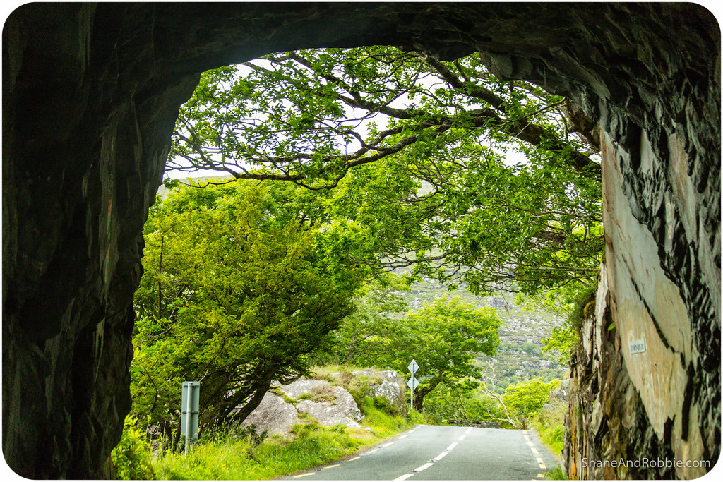
We stopped at Rossbeigh for a short time before moving on to Glenbeigh, a small village cosily tucked in to the surrounding horseshoe of hills and mountains. The Caragh River and the Behy River flow around the village, meaning we had to drive across a couple of cute little arched stone bridge (called “Kissing Bridges”). These bridges are so narrow there’s barely room for one car to cross at a time*!
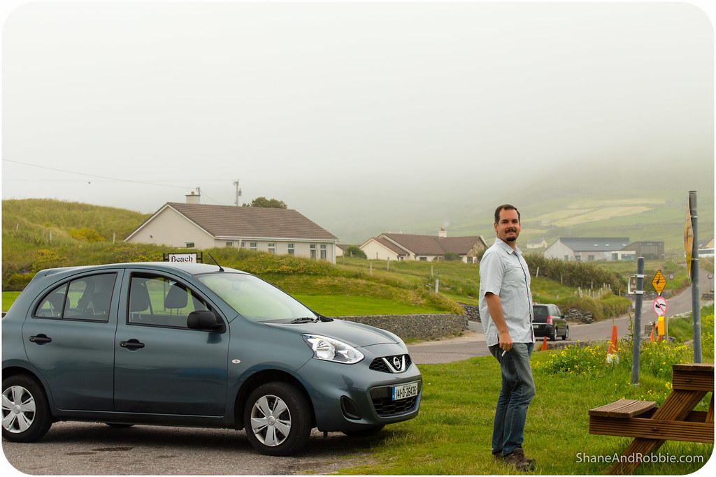
*Between the Kissing Bridges and the tiny country lanes, we were really glad we only rented a tiny car!
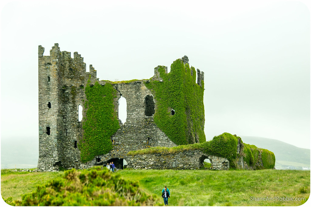
Near the village we found the ruin of “Wynne’s Folly”, a castle mansion built by Lord Headley Wynne in 1867. The mansion was designed to look like a medieval fortress and was funded by increased rents charged to the farming tenants of the Wynne estate. The barbarity and brutality of the overseer of the Wynne Estate is legendary in the area; during the late 19th century there were numerous evictions because the tenants were just not able to afford the increased rents levied against them to pay for the construction of the castle. In a truly tragic turn of events, not very long after the castle was built, Lord Wynne went bankrupt and the building fell to ruin. Today Wynne’s Folly is a crumbling ruin, covered in ivy and perched ignominiously on a small rise above the Behy River. Surrounded now by fields and grazing sheep it seems a folly indeed!
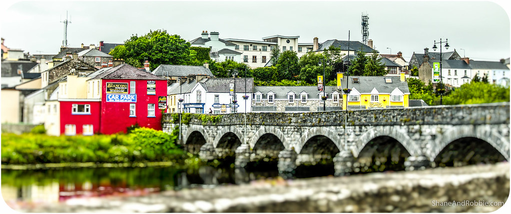
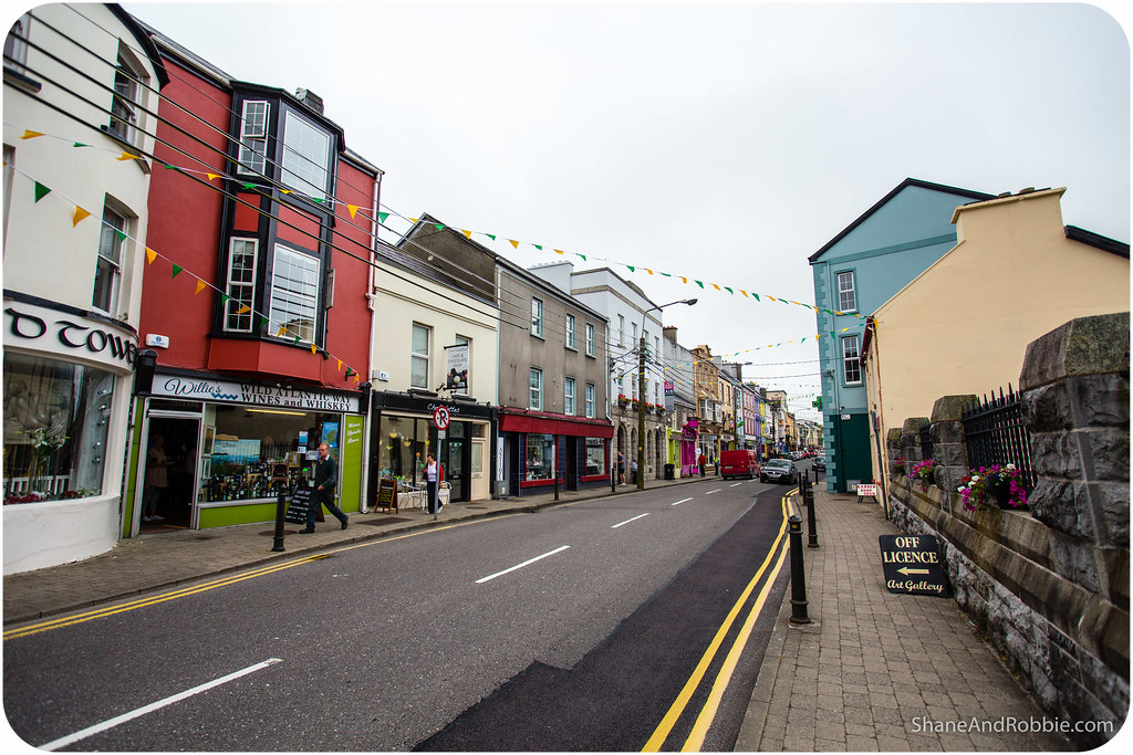
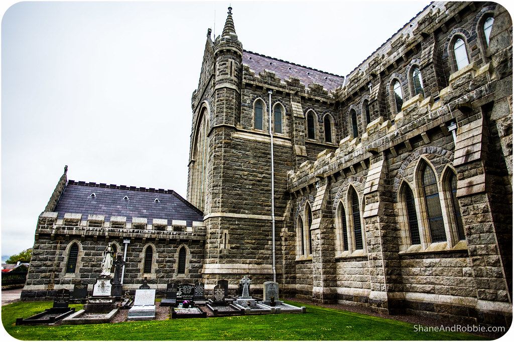
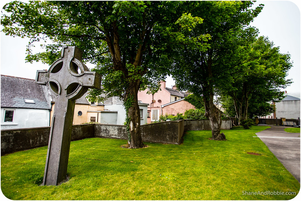
Having explored Wynne’s Folly our next stop was Cahersiveen, the principal town of the Iveragh Peninsula. This bustling centre of 1,300 people has a very large church (the only one in Ireland named after a lay person), and a great little French patisserie where we stopped at for refreshments. Mmmmm…café-au-lait and pain-au-chocolat.
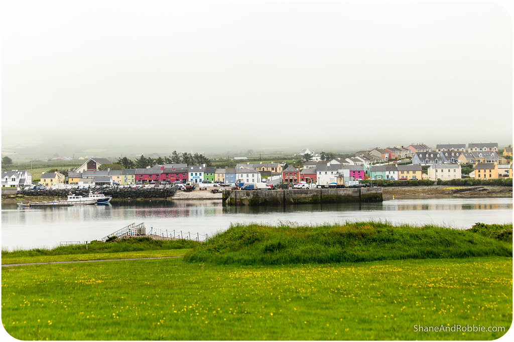
Refuelled and refreshed form our brief hiatus in Cahersiveen we continued on to Portmagee, right on the western-most edge of the peninsula. This tiny town is the launching point for boats that go across to the Skelling Islands, once home to one of Ireland’s most famous monasteries (Skelling Michael). During the Dark Ages monks there helped preserve sacred texts (such as the famous early Christian text “The Book of Kells”) by hiding and protecting them. If we’d had more time we would have stayed in Portmagee and caught the boat across to Skelling Michael to climb the steep hill up to the ruins of the monastery. But with so much more to see we just stopped for a few photos and then continued on.

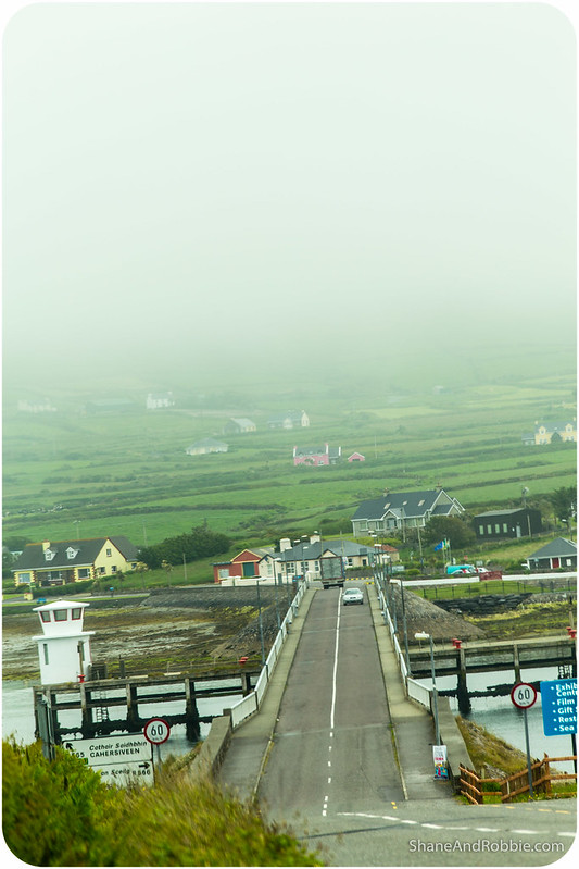
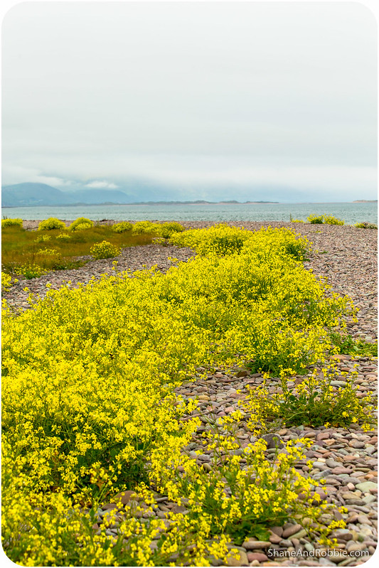
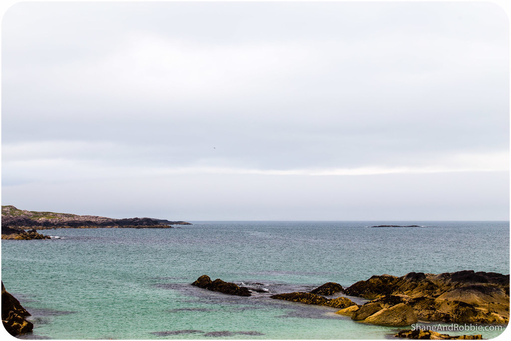
Traversing the bridge at Portmagee we crossed on to Valentia Island. Separated from the mainland by a narrow channel, this 11km-long islet is home to a few farmers and a whole lot of sheep. The views from Valentia across to the Skelling Islands is supposed to be magnificent, unfortunately for us this is as much of a view as we got…
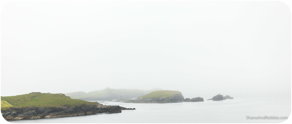
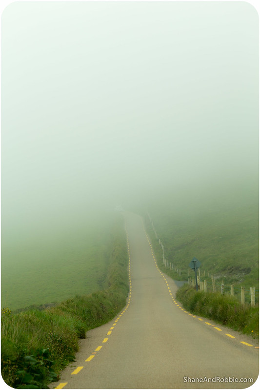
It seems we just weren’t destined to see the sun today – there was nary a patch of blue to be seen all day! And things got even less idyllic as we continued on our counter-clockwise loop of the Iveragh Peninsula and started climbing up through the clouds. The road took us up through a narrow mountain pass where visibility dropped to just a few metres and the road disappeared into the clouds.
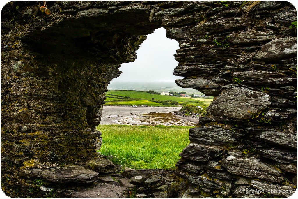
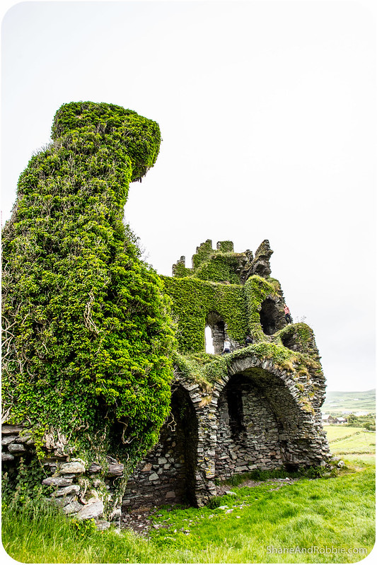
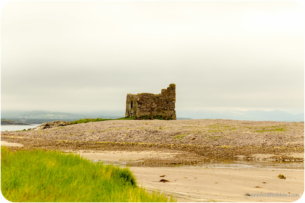
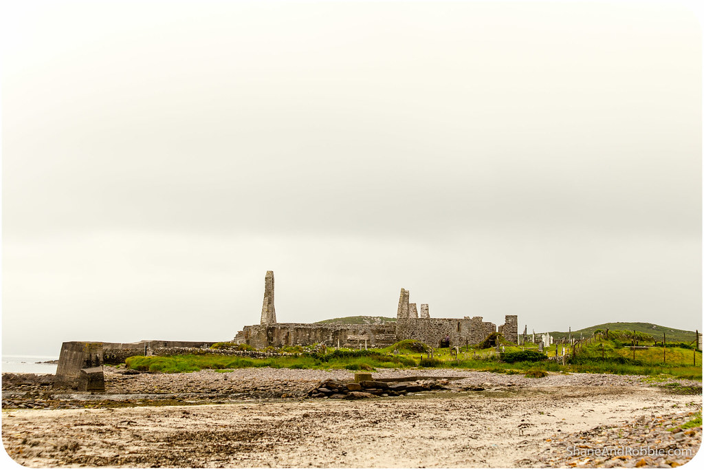
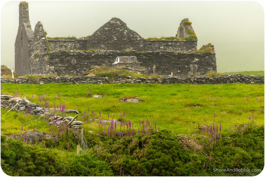
We got through it fine, going extra slow to avoid the sheep. Coming down out of the pass, we headed into Ballinskellings village. Here the ruins of Ballinskellings Fort stopped us in our tracks. This medieval fortress is perched on a narrow isthmus of land that, during high tide, is cut off from the main land. Now a ruin, it was once an important outpost, watching for invading Viking ships or other marauders. It’s so much fun being able to clamber through these old ruins, exploring the crevices and nooks now occupied by birds and spiders* and imagining how things must have looked once upon a time.
*As an Aussie, it is SO exciting to be able to go exploring without fear of attack by poisonous spiders, snakes, etc, etc.

A little further round the bay from the fortress we came across the ruins of Ballinskellings Priory, built by monks from Skelling Michael when they fled their sacked monastery in the 12th century.
We continued on, passed through Waterville without stopping. Waterville village is situated on a narrow isthmus, with Lough Currane on the east side of the town, Ballinskelligs Bay on the west, and the Currane River connecting the two. Its main claim to fame is that Charlie Chaplin once holidayed there, and now a statue of him sits in the centre of the town.
Far more picturesque was Caherdaniel; sandwiched between Derrynane Bay and the mountains this tiny hamlet was so small that if we’d blinked, we would have missed it. The beauty of Blue Flag Beach got our attention though, and we stopped there to admire the view and enjoy a snack at the café there. There were families playing on the beach and a few people swimming (crazy!), and for the briefest moment we even got to see how azure the waters of the Bay can be.

The laid-back town of Sneem (yup, funny name) was our next stop. Not much to report there, though the fact that the square on the east side of town is called South Square and the one on the west is called North Square tickled our fancy a bit.
By-passing Kenmare we headed straight through Moll’s Gap. This mountain pass overlooks Killarney and gave us a chance to enjoy some awesome views of the Macgillycuddy Reeks mountains.

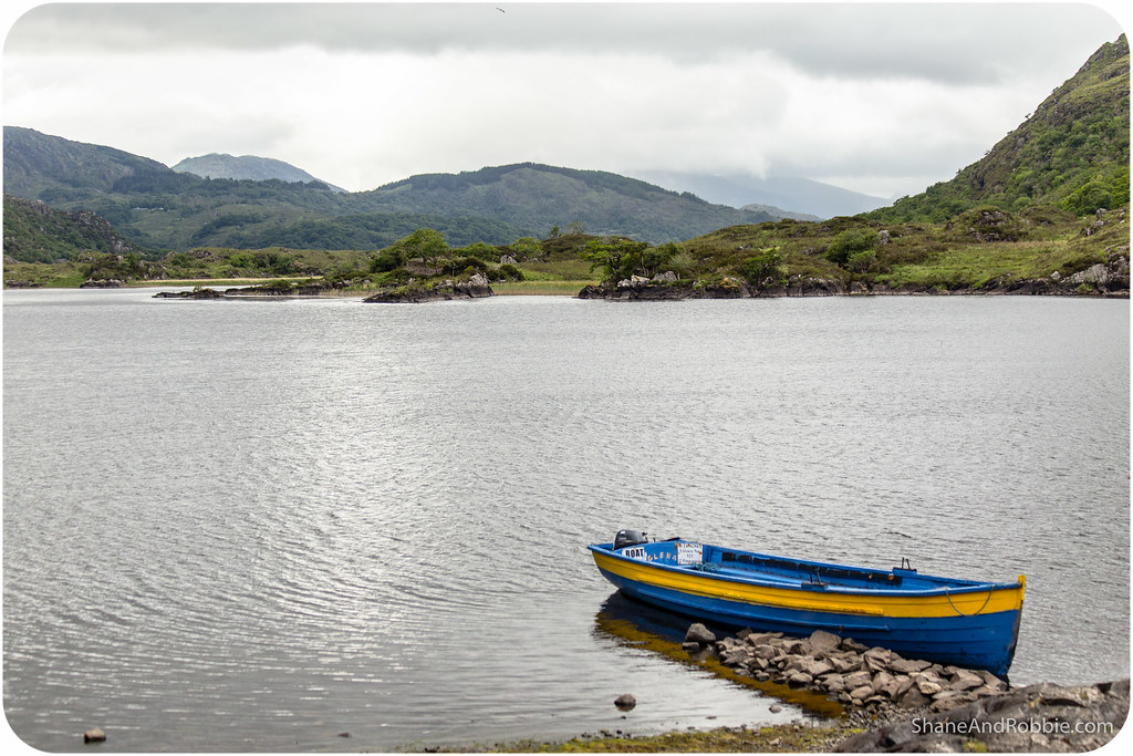
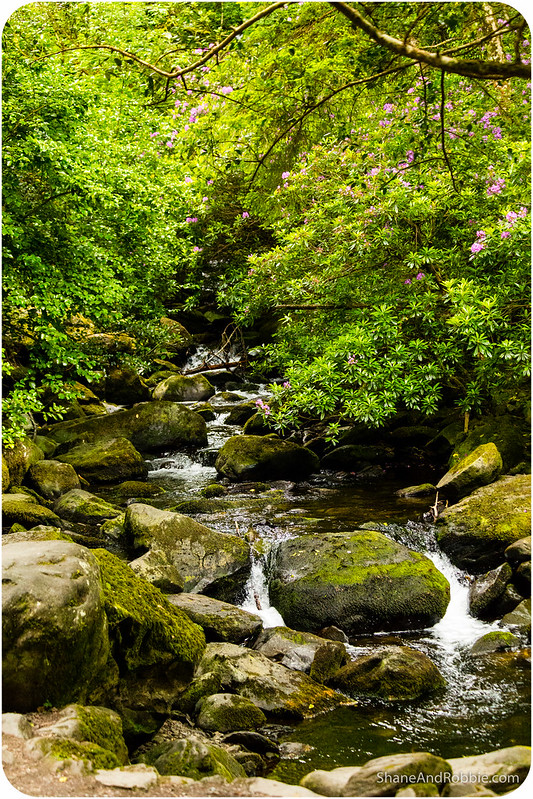
Coming down through Moll’s Gap we passed Upper Lake and Muckross Lake, the same lakes we boated through the other day. Both lakes looked steely grey and forbidding under the cloudy skies, though there were a couple of colourful skips on the water that added a great splash of colour to the scene.
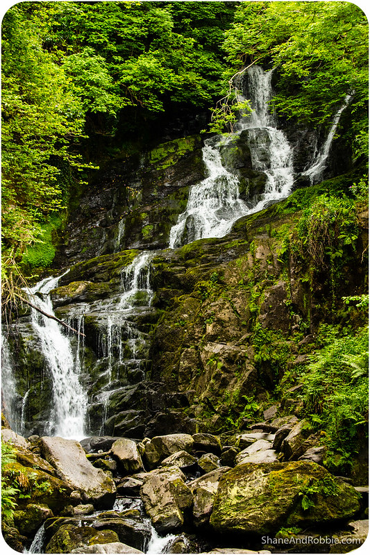
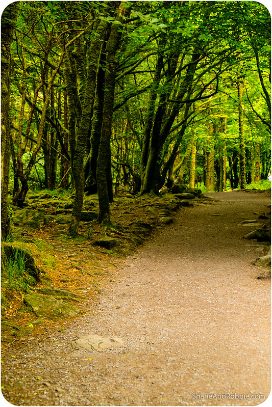
We had just about reached Killarney when the sign for Torc Waterfall had us veering off the road for one last stop. This 23m high waterfall was set in a pretty forest, where sunlight trickling through the leaves painted everything green and squirrels ran about collecting nuts. We stopped to admire the falls but then quickly hopped back in the car, eager to be home after our driving long day.
Finally we pulled into Killarney where peak hour traffic had us waiting for whole minutes to get through the traffic lights! We dropped the car off at the rental place where the guy behind the counter took the keys of us, asked us casually if there were any issues, and then happily waved us off. No fuss, no detailed inspection of the car, nothing! Considering how ridiculously anally retentive car hire places in Aus can be, THAT was a breath of fresh air! So many things here in Ireland seem to run on simple trust and human kindness – it’s lovely and really endearing.
We had a wonderful day today and would love to come back to spend more time around the Iveragh Peninsula, maybe taking the time to walk The Kerry Way (a hiking path which goes around the peninsula and covers about 220km). Certainly this is a part of the world worth enjoying at leisure – everything in Ireland seems best enjoyed with plenty of time on your hands, a good sense of humour, and a healthy appetite*. This is our kind of place!
*Perhaps in reaction to The Great Famine of the 19th century, there seems to have been a collective decision made by Irish restauranteurs, hoteliers and publicans everywhere to ensure that no human being will ever go hungry in Ireland again.

Categories: Ireland
